
The "Three Smolyan Lakes" eco-trail - a real Rhodopes magic in the middle of the Cherna Reka valley and the southern slopes of Snezhanka peak in Bukova mountain
- Stefan Ivanov

- Aug 16, 2024
- 9 min read
Updated: Jan 17, 2025
The Rhodopes mountain hides real magic - it hides secret wonders in its bosom. With crystal clear air, it bewitches everyone and with its coolness, summer strangers, it entices temptingly to itself.

Beautiful lakes like asterisks in the middle of their centuries-old spruce giants, the Rhodope corner, and it boasts of its beauty only to a select few. To those who look with their heart, to those who feel with their soul and to those who love the mountain and the forest!

I will now take you to three of these wonderful lakes! I will tell you about them! And you, take my hand, open your hearts to the beauty of the Rhodopes and their incomparable beauty, and rush into a fabulous Rhodope journey!

The Rhodope lake tale begins right here – near the largest and most beautiful of all Smolyan lakes – the Grassy Lake, also known as the Grass Lake. It is also the first on the eco-trail that I am about to tell you about.

In the not-so-distant past, there were about twenty of them, today only seven remain of the beautiful Smolyan Lakes - seven sparkling stars, seven little pearls, seven Rhodope tales, seven beads.

An impressive eco-trail starts today from the Grassy Lake and it has a name – the "Three Smolyan Lakes" eco-trail, they call it. I invite you to walk along it while I tell the story of the ponds.

But before we set off on an adventure, I will now sharpen your attention!

Dear travelers, dear friends and nature lovers, the Smolyan Lakes are part of an exceptionally beautiful landscape complex! We need to preserve it for future generations!
Many valuable, endangered and protected plant and animal species are found here. Cutting down plants, disturbing and hunting animals are unacceptable!
The centuries-old spruce forest is a national treasure – protect it!
Do not cut down trees or break their branches! Light fires only in designated and secured places and when leaving the camping site, carefully extinguish the fire!
To prevent this paradise from being turned into a landfill, collect and dispose of your waste in the designated places!
And now – let's go!

As you can see from the arrow, the marking of the "Three Smolyan Lakes" eco-trail is yellow-green-yellow (white-green-white). This marking is very important, so remember it, always follow it and find a forest trail.

Our joint Rhodope fairy tale begins with the Grassy Lake – the first on the "Three Smolyan Lakes" eco-trail. Its area varies according to the seasons, ranging from 6 hectares (dry season) to 8 hectares (spring).

We are in the middle of the impressively beautiful, magical and enchanting valley of the Cherna River. The Cherna River is a left tributary of the Arda River. Its length is 48 kilometers. It drains the southeastern slopes of the highest part of the Perelik-Prespa Divide and the northern slopes of the Kainadine Ridge.

I named the above photo moment "Layers of Perfection"! Do you want me to tell you why? Notice the colors, the nuances, the shadows and the reflected sun rays – everything is arranged amazingly well layer by layer in a perfect pastoral picture! At the top is azure blue, mixed with the white fluff of the clouds. Next is the dark green magic woven by centuries-old spruce giants, growing on the southern slopes of Bukova Planina since time immemorial. Next comes the ashen rock fragments that cut through the forest. The light green blanket of spruces growing right by the waters. Next is the unreal grassy green of the blades of grass, sprouting on the peat layer that covered parts of the lake. And the water – with all kinds of reflections! Green like the grass, dark green like the forest, blue – like the skies, white – like the clouds floating from Snow White! Majestic and breathtaking Rhodope beauty, before which everyone sheds tears of joy!

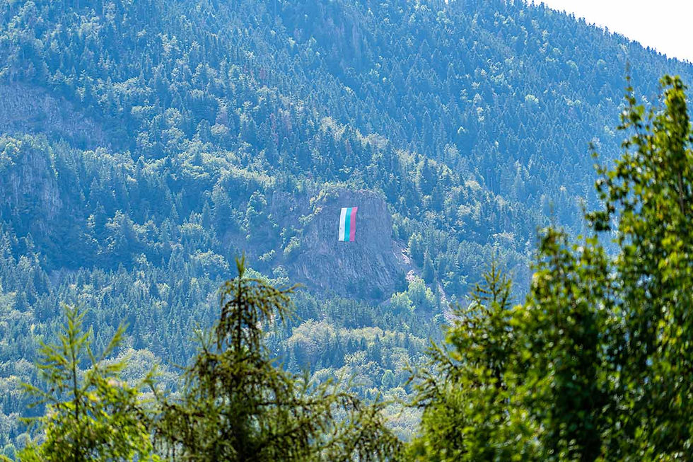
The majestic Bukova Mountain is magical! It is a mountain ridge in the central parts of the Western Rhodopes, a southern branch of the Perelik-Prespa section, on the territory of Smolyan Region.
The city of Smolyan (at its southern foothills) and the villages of Bostina, Dunevo, Levochevo, Pisanitsa, Sokolovtsi and Hasovitsa are located in the mountain and on its slopes.

The ridge extends from north to south for about twelve kilometers, and its width reaches eight kilometers. In the west, the high Prevala saddle connects it with the Perelik division, in the northeast the Rozhen saddle (1439 meters) - with the Prespa division, and in the north the Pamporovo saddle (1576 meters) - with the Chernatitsa ridge. In the south it extends to the Cherna River valley, which separates it from the Kainadine Ridge, and in the east it descends steeply to the Byala River valley, a left tributary of the Cherna.
The ridge's ridges rise to about 1700 to 1800 meters, with its highest point being Snezhanka Peak (1925.8 meters), which is located in its northernmost part, within the Pamporovo resort. It is built of Oligocene rhyolites, sandstones and conglomerates. A very large percentage of the mountain's territory is covered with dense coniferous forests.
Our winter resort Pamporovo is built in the northern part of the ridge. It is home to the Orpheus Rocks, the Smolyan Lakes, and the television tower on Snezhanka Peak (156 meters high).

A very important feature of the "Three Smolyan Lakes" eco-trail is that it is a circular trail. In this section, it goes around the entire Trevisto Lake and continues forward - to the next one, called Bistro Lake.

Lake Bistro is located right next to Lake Treviso. Unfortunately for everyone, the area it once covered is melting extremely quickly, and in 20 years the lake has almost disappeared.

This summer, the waters of Lake Bystro occupied an area the size of a circle with a diameter of only a few meters. Its area varies according to the seasons, ranging from 1 hectare (dry season) to 3 hectares (spring).

The waters of the Clear Lake were not at all clear, but were completely filled with growing flora.

The Clear Lake, as well as the other Smolyan Lakes, are landslide lakes formed in the back depressions of a large landslide resulting from the contact of rhyolite rocks and the underlying waterproof sedimentary rocks. The Clear Lake is connected by a river arm to the Grassy Lake, which prevents it from completely drying up during the summer-autumn drier season.
Near the Clear Lake, the "Three Smolyan Lakes" eco-trail makes a sharp left turn, bypassing the entire lake. In this way, the trail enters the forest among the trees. You should not worry, because the "Three Smolyan Lakes" eco-trail is well marked and there is really no way to mistake the right direction. Just follow the markings and signposts placed along its entire length.

Soon the trail enters its only more extreme section, which is why I have given it the tag "Medium Difficulty" at the end of my post. Fortunately for everyone, this steep section is relatively short and can actually be crossed in minutes. In this part, the elevation of the trail increases sharply, and if Trevistoto and Bistroto lakes are located at 1535 meters and 1550 meters above sea level, respectively, then the next, third lake in a row - Matnoto, is located at 1593 meters above sea level. And it is precisely this difference in height that you should overcome on this only more extreme and steep section. Here you should be especially careful, well-shoes - with comfortable hiking shoes, because the terrain requires it, and fully focused. We don't want anyone to get hurt, right!

Before visiting the Muddy Lake, the trail will take us to the "Throne of Eurydice".

"Eurydice's Throne" is a row of trees that, with more or less imagination, should resemble a throne.

I personally found absolutely all the trees around to be super interesting and I couldn't stop taking pictures of them.

A minute from the "Throne of Eurydice" is the third and deepest of all lakes - Matnoto.
The murky lake reaches a depth of four and a half meters, and is also completely surrounded by huge, even gigantic spruce giants, which were pleasantly reflected in its waters.

As I told you at the beginning of our fabulous Rhodope journey, in the past there were over twenty Smolyan lakes, but now there are only eight left, seven of which are natural, and one of them - Keryanov Gyoll, has been turned into a microdam. The remaining lakes have now turned into swamps. In spring and autumn, small ponds reappear in the place of some of these swamps.

The area of the Muddy Lake varies seasonally, from 1.6 hectares (dry season) to 2.5 hectares (spring). Now, in the midst of this dry and hot summer, the waters had receded and even a second, very small pond had formed.

Personally, the Muddy Lake made the biggest impression on me! Whether it was because of the magically surrounding dense forest, the shadows of the trees in its waters, or its location and the difficult access to it, I especially liked it here!

The path goes around the entire pond and continues in the direction of "Orpheus' Lyre".

From here to its very end, the trail is gentle with a very slight elevation gain. The distance from "Orpheus' Lyre", which is located minutes from the Muddy Lake, to the end of the trail - actually its beginning, because as I told you, the "Three Smolyan Lakes" eco-trail is a circular trail, is literally about ten minutes.
The trail leaves the forest along an asphalt road, which will take you to the starting point of the eco-trail in a minute.

Here we are again where we started – at the starting point of the "Three Smolyan Lakes" eco-trail.
The marking of the "Three Smolyan Lakes" eco-trail allows the entire trail to be walked from this point in the direction of "Orpheus' Lyre", the Muddy Lake, the "Throne of Eurydice", the Clear Lake and finally – the Grassy Lake.
How to get to the town of Smolyan?
Smolyan is a city in Southern Bulgaria, located in the Perelik-Prespa section of the Western Rhodopes at a high average altitude of 1035 meters, making it the highest located regional city in Bulgaria.

It is located about ten kilometers from one of the largest winter resorts in Bulgaria - Pamporovo and Mechi Chal.
The city was formed on June 18, 1960, as a result of the unification of the cities of Smolyan and Ustovo, as well as the villages of Raykovo and Ezerovo.
It is the administrative center of Smolyan Municipality and Smolyan District.

Smolyan is also one of the longest cities in Bulgaria - nearly 25 kilometers, which is due to its linear development along the Cherna and Byala rivers.

Smolyan is located:
244 kilometers (about 3 hours and 36 minutes by car) from the capital
98 kilometers (about 2 hours and 03 minutes by car) from the city of Plovdiv
428 kilometers (about 5 hours and 56 minutes by car) from the city of Varna
321 kilometers (about 4 hours and 04 minutes by car) from the city of Burgas
How do you get to the starting point of the "Three Smolyan Lakes" eco-trail?
The starting point of the "Three Smolyan Lakes" eco-trail is located northwest of Smolyan, just a few minutes from the town, near Trevistoto Lake.
If you are traveling on national road III-8641 (Pamporovo ski resort - Smolyan), this is what the junction at the western end of the city looks like.

This junction is easily recognizable because a cute wooden bear and the inscription SMOLYAN await you here.

If you continue to the left, you will enter the town of Smolyan.
The fork leading towards the Smolyan Lakes is to the right. This is the Republican Road III-866, connecting the town of Smolyan with the village of Shiroka Laka and the town of Devin.
After a few minutes, take the sharp right turn towards the Smolyan Lakes.
And finally, my dear friends,
you shouldn't miss checking out
the special photo album with moments –
discovered, experienced, filmed and shared with you!


Comments